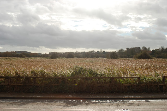
Flood Defences, Cley
On a clear but blustery day we visited Cley in North Norfolk for a walk. Cley is one of the most picturesque parts of Norfolk with its historic buildings and dramatic vistas. It's salt marshes are a haven for native and migrant birds who bring twitchers from across the UK. When we arrived we put on our boots, took in the scenery and I decided to photograph some gates.
The village of Cley was originally a harbour at the seafront but visitors today will just be able to make out a thin strip of greyish blue on the horizon. So what happened? Since Norfolk is so flat, even fairly small changes in the sea can significantly affect it's coastline. As recently as 6500BC there was an additional expanse of land (known as Doggerland) that stretched all the way from East Anglia to what is now the Netherlands. It was around 6500BC when the last glacial period started coming to an end. As the ice melted the cold North Sea rose and flooded Doggerland which must have been a nasty shock for the neolithic doggers.
By Max Naylor - Own work, CC BY-SA 3.0, Link
A shingle spit formed by longshore drift, runs from Morston in the west to Weybourne at the east and has been profoundly influential in the development of local settlements. It provides shelter from the sea's tidal action which was likely a factor in the founding of Weybourne, Blakeney, Cley and Salthouse. By the 16th century engineers had enough knowledge, skill and technology to start sculpting the coastline to reclaim some of the land from the sea. A presumably unintended consequence of the reclamation was the river silting up, eventually leading to Cley-next-the-sea being a mile or two from the sea.
This wall was built to bolster the natural protection offered by the shingle spit and an earlier concrete wall. The National Rivers Authority judged that although it is a very rare occurence (a 1 in 100 year event), the risks posed by the sea overtopping those barriers were so great that further defence was needed.
I like to finish each blog entry with a music suggestion that fits the topic. Listen to This is the Sea by The Waterboys and you can almost taste the brine.
The North Norfolk Coastal Path takes you across a clay embankment above the reeds that is actually the most recent wall defending against sea flooding. The gates pictured here are to allow boats to continue to use the river.
This wall was built to bolster the natural protection offered by the shingle spit and an earlier concrete wall. The National Rivers Authority judged that although it is a very rare occurence (a 1 in 100 year event), the risks posed by the sea overtopping those barriers were so great that further defence was needed.
Man's ingenuity has triumphed at Cley for now but it is a constant tussle and the trends in climate change indicate that there will be greater challenges in the future.
In the course of writing this entry I learned that in 2016 the Cley community succeeded in reestablishing a harbour in the village. You can read their story on Cley Harbour's own website complete with beautiful photography of the scenery and historic buildings.


Looks like a lovely area. Were they affected by the floods in the 1950's = 1958 I think?
ReplyDeleteIt is beautiful there. You're right, there was a big flood in 1953. There is a display in the church at Salthouse which we visited later in the day. That will probably be the next story to appear here. Thanks for reading!
Delete